![]()
![]()

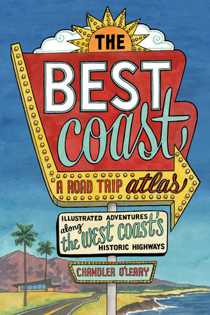
The Best Coast: A Road Trip Atlas
Illustrated Adventures along the West Coasts Historic Highways (Travel Guide to Washington, Oregon, California & PCH)
Take the ultimate West Coast road trip this summer with The Best Coast—a full-color illustrated travel guide to all the must-visit roadside attractions, beloved landmarks, hidden histories, and offbeat delights on Washington, Oregon, and California’s historic highways, include the Pacific Coast Highway!
From San Diego, California, all the way up to the Olympic Peninsula in Washington State, you’ll find unusual facts, hidden history, epic Americana, and off-the-beaten-path adventures up and down the coast.
This Road Trip Atlas Includes:
Route Maps – the coastal route via historic Highways 101 and 1 (the PCH) and an inland route up Highway 99
City Guides – San Diego, San Francisco, Los Angeles, Sacramento, Portland, and Seattle
30+ Itineraries and Side Trips – Catalina Island, Joshua Tree National Park, Sequoia and Yosemite National Parks, wine country, Crater Lake National Park, the Columbia River Gorge, Mount Rainier National Park, the San Juan Islands, and Vancouver, BC.
Travel Tips – safety, rules of the road, wise planning, and packing lists (for the traveler and for the car)
Wildlife Checklists
Index of places, parks and attractions
Resources – navigational aids, travel information, passes and permits, books, websites and films
Hit the road with this one-of-a-kind road trip travel guide through California, Oregon, and Washington that tells the story of the diversity and depth that created the West Coast we know and love today!
Apr 09, 2019 | Price: $27.95
There is currently no bio information for this author.
Details
- Paperback: 224 pages
- Publisher: Sasquatch Books
- Language: English
- ISBN: 9781632171740
- ISBN Hyphenated: 978-1-63217-174-0
- Dimensions: 7 x 10⁻¹/2
- Weight: 28 ounces
Book Categories
Art, Art - American, Art - American - General, Art & Photography, Arts & Entertainment, Cultural Destinations, More Art..., More Travel..., Museums, Nature & Outdoors, Nonfiction, Specialty Travel, Travel, Travel - Europe - Spain & Portugal, Travel - Food, Lodging & Transportation, Travel - Food, Lodging & Transportation - Road Travel, Travel - United States, Travel - United States - Midwest, Travel - United States - Midwest - West North Central (IA, KS, MN, MO, ND, NE, SD), Travel - United States - West, Travel - United States - West - Mountain (AZ, CO, ID, MT, NM, NV, UT, WY), Travel - United States - West - Pacific (AK, CA, HI, OR, WA), Travel & Destinations, Travel & Regional Interest, Travel: USA & Canada, true crime, USA, World TravelYou might also enjoy


An American Booksellers Association Indie Travel Bestseller
Praise for The Best Coast:
“The Best Coast, Chandler O’Leary’s illustrated road trip atlas spanning San Diego, Calif., and Washington State, taps into a desire among vacationers to see America as it was before chain restaurants and frequent-flyer mileage homogenized and shrunk the landscape."
—Publishers Weekly
“O’Leary’s guide offers the best of both worlds by taking you off the beaten path without missing out on any bucket-list attractions.”
—Seattle Times
“[Chandler] O’Leary’s bright, delightful watercolors depict worthwhile stops and sights, from the mission architecture of San Diego to the parks of Vancouver, British Columbia. The book is also packed with the kind of dad-approved roadside history (did you know there are wild zebras in California?) that makes for memorable meandering.”
—Seattle magazine
"All the beauty of a west coast road trip, condensed in a beautiful, yet practical book. The Best Coast: A Road Trip Atlas is perfect for those new to the West, and a wonderful supplement for the natives who haven’t quite been everywhere yet. Handy tips, stunning locations and a number of side trips just in case you decide to do some wandering."
—Powells.com
"In The Best Coast, readers travel with O’Leary from San Diego to her current home state of Washington and back again. In between beautiful, hand-painted illustrations are portraits of roadside attractions, hidden histories, and historic highway guides."
—Roadtrippers magazine
“Not just an indispensable guide to the West Coast, this is a beautiful, one-of-a-kind love letter to some of my favorite places in the world.”
—Geraldine DeRuiter, founder of Everywhereist.com
Praise for Chandler O’Leary and DrawnTheRoadAgain.com:
“Nobody is clear on the exact ratio of picture-to-words worthiness—some estimates have it as high as 1:1000—but it’s hard to argue that your average travel writer could capture the essence of a place as well as Chandler O’Leary does with her . . . watercolor artwork.”
—Fast Company
“O’Leary has a unique perspective on the sense of discovery in the journey as well as the destination.”
—Atlas Obscura